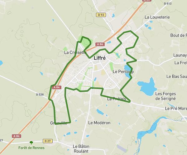
This running route covers 2.73mi starting from Melesse, Ille-et-Vilaine. The run is a loop trail and returns to the trailhead. This run is rated as easy, expect about 29m to complete it. The route has an elevation gain of 144ft and an elevation loss of 141ft.
Parcours 4km 100% asphalte
Route details
5.65mph
Speed
332 kcal
Calories burned
Loop trail
Route type
230ft
Min altitude
338ft
Max altitude
Route profile
144ft
Elevation gain
141ft
Elevation loss
230ft
Min altitude
338ft
Max altitude
How to get there
Trailhead: 19 Rue De Belle-Île, 35520 Melesse, France
GPS coordinates of the trailhead: 48.215224, -1.690369 / 48°12'54'' N, 1°41'25'' W