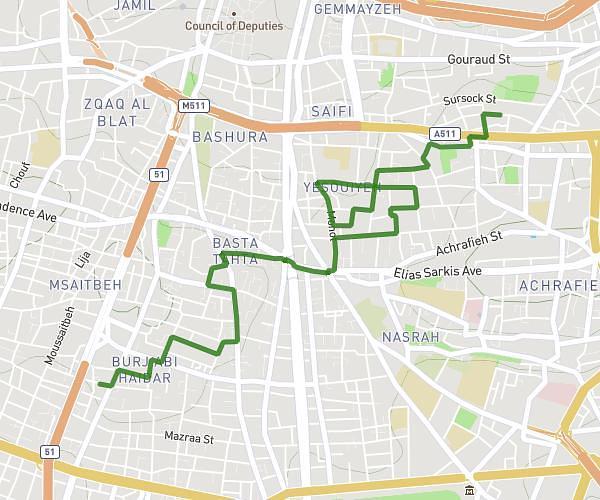
This walking route covers 2.81mi starting from بيروت, Beirut. The walk does not return to the trailhead and ends near Rue Georges Choueri, Rmeil, بيروت, Beirut, Lebanon. This walk is rated as easy, plan for about 1h to complete it. The route has an elevation gain of 453ft and an elevation loss of 505ft.
parcours urbain
Route details
21:22/mi
Pace
245 kcal
Calories burned
Point to point
Route type
184ft
Min altitude
318ft
Max altitude
Route profile
453ft
Elevation gain
505ft
Elevation loss
184ft
Min altitude
318ft
Max altitude
How to get there
Trailhead: شارع داود أبو شقرا, Moussaitbeh, بيروت, Beirut, Lebanon
GPS coordinates of the trailhead: 33.882403, 35.497653 / 33°52'56'' N, 35°29'51'' E