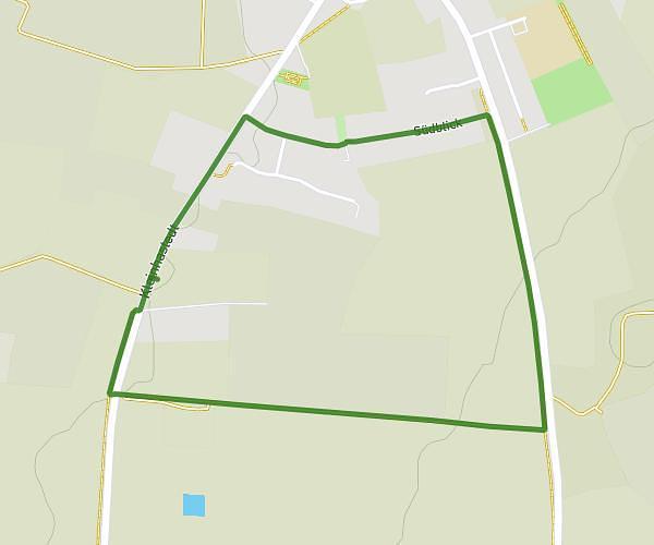
This running route covers 4.269mi starting from Heide, Schleswig-Holstein. The run is a loop trail and returns to the trailhead. This run is rated as easy, expect about 1h to complete it. The route has an elevation gain of 23ft and an elevation loss of 20ft.
Runde neu
Route details
4.27mph
Speed
686 kcal
Calories burned
Loop trail
Route type
26ft
Min altitude
46ft
Max altitude
Route profile
23ft
Elevation gain
20ft
Elevation loss
26ft
Min altitude
46ft
Max altitude
How to get there
Trailhead: Professor-Heinz-Haber-Straße 13, 25746 Heide, Germany
GPS coordinates of the trailhead: 54.196171, 9.118577 / 54°11'46'' N, 9°7'6'' E