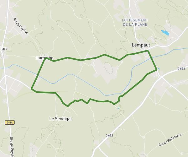
This running route covers 3.7mi starting from Brousses-et-Villaret, Aude. The run is a loop trail and returns to the trailhead. This run is rated as easy, expect about 44m39s to complete it. The route has an elevation gain of 397ft and an elevation loss of 390ft.
brousse et villaret
Route details
4.97mph
Speed
510 kcal
Calories burned
Loop trail
Route type
1010ft
Min altitude
1332ft
Max altitude
Route profile
397ft
Elevation gain
390ft
Elevation loss
1010ft
Min altitude
1332ft
Max altitude
How to get there
Trailhead: Chemin Du Pré De La Croix, 11390 Brousses-et-Villaret
GPS coordinates of the trailhead: 43.34165, 2.25444 / 43°20'29'' N, 2°15'15'' E