MapPlanner
5.745mi
Distance
2h30m
Duration
+1335ft
Elevation gain
-1329ft
Elevation loss
Hard
Level

3 kids & a Dog

Route details

2.3mph
Speed
1127 kcal
Calories burned
8.8%
Avg grade
Loop trail
Route type
607ft
Min altitude
1148ft
Max altitude
Steep climb

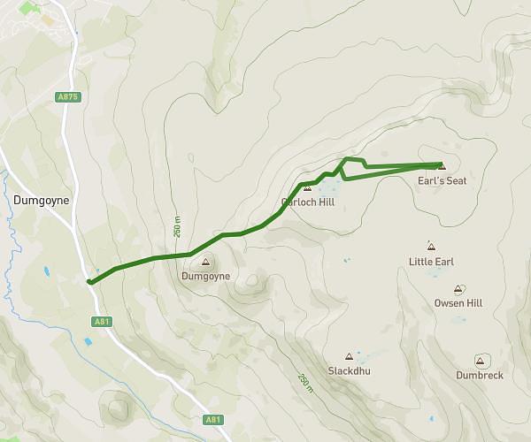
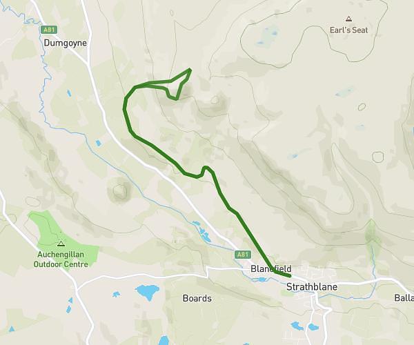
This hiking trail covers 5.745mi starting from Glasgow, Scotland. The hike is a loop trail and returns to the trailhead. This hike is rated as hard, plan for about 2h30m to complete it. The route has an elevation gain of 1335ft and an elevation loss of 1329ft.

Description of the route by the creator

Started at 09:30 17th Feb. Very Icey. Too early for this walk with children.

Route profile

1335ft
Elevation gain
1329ft
Elevation loss
607ft
Min altitude
1148ft
Max altitude

How to get there

Trailhead: A809, Glasgow, G63 9AX, United Kingdom

GPS coordinates of the trailhead: 55.997297, -4.389218 / 55°59'50'' N, 4°23'21'' W

Caution: May Cross Private Property

This route may pass through or near private property. Always respect posted signs, obtain permission where required, and follow local trespassing laws. MapPlanner does not guarantee public access along any route.

Safety Notice

Trail and road conditions may change without notice due to weather, construction, or other factors. Always verify current conditions before heading out. You are responsible for your own safety — follow local signage, obey traffic laws, and use your best judgment on the trail.