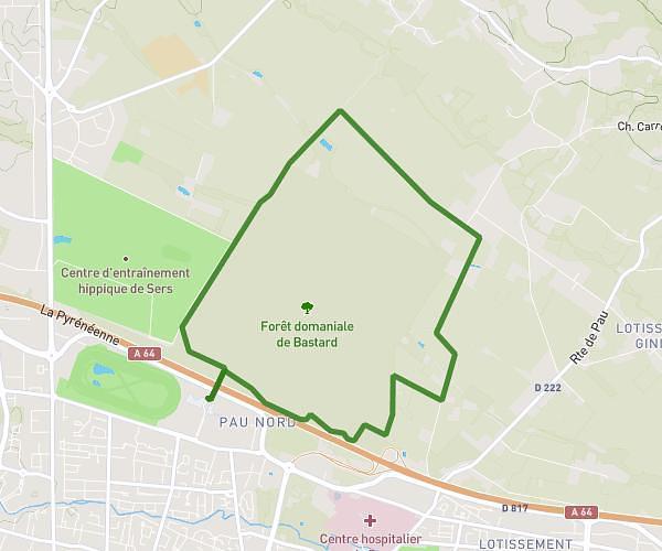
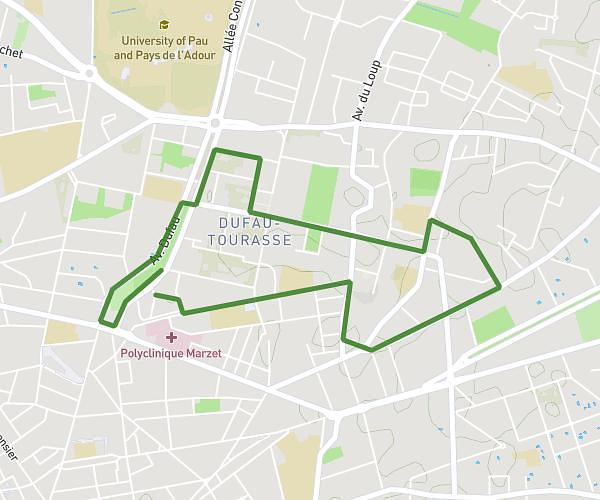
This running route covers 11.077mi starting from Jurançon, Pyrénées-Atlantiques. The run is a loop trail and returns to the trailhead. This run is rated as hard, expect about 1h59m to complete it. The route has an elevation gain of 955ft and an elevation loss of 981ft.
Boucle Jurançon la Chapelle
Route details
5.59mph
Speed
1361 kcal
Calories burned
Loop trail
Route type
548ft
Min altitude
1181ft
Max altitude
Route profile
955ft
Elevation gain
981ft
Elevation loss
548ft
Min altitude
1181ft
Max altitude
How to get there
Trailhead: 11 Chemin De Ségure, 64110 Jurançon, France
GPS coordinates of the trailhead: 43.28365, -0.4138 / 43°17'1'' N, 0°24'49'' W