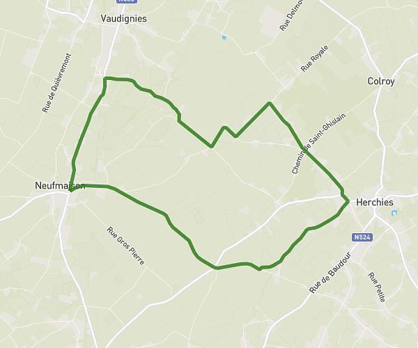
This running route covers 4.026mi starting from Saultain, Nord. The run is a loop trail and returns to the trailhead. This run is rated as easy, expect about 38m to complete it. The route has an elevation gain of 46ft and an elevation loss of 69ft.
Saultain 6km500
Route details
6.36mph
Speed
434 kcal
Calories burned
Loop trail
Route type
217ft
Min altitude
285ft
Max altitude
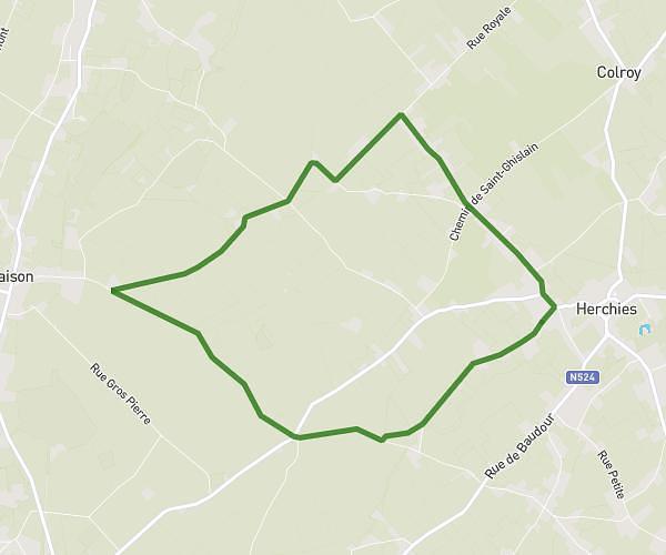
Route profile
46ft
Elevation gain
69ft
Elevation loss
217ft
Min altitude
285ft
Max altitude
How to get there
Trailhead: 142 Avenue Henri Barbusse, 59990 Saultain, France
GPS coordinates of the trailhead: 50.33512, 3.58598 / 50°20'6'' N, 3°35'9'' E