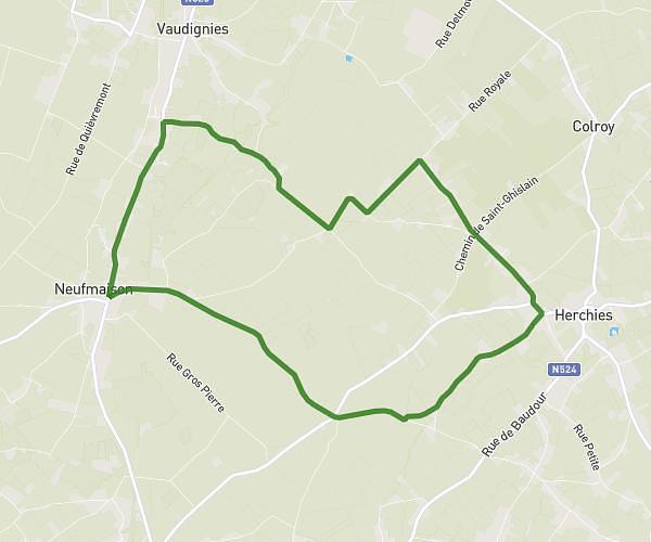
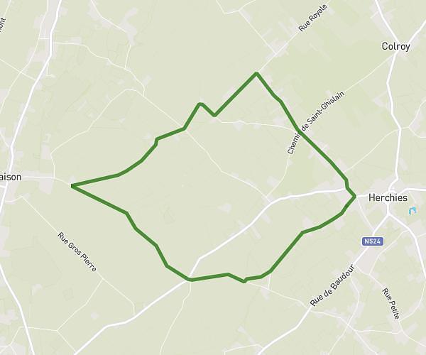
This running route covers 6.213mi starting from Saultain, Nord. The run is a loop trail and returns to the trailhead. This run is rated as moderate, expect about 58m to complete it. The route has an elevation gain of 75ft and an elevation loss of 115ft.
Saultain/Marly 10km pile
Route details
6.42mph
Speed
663 kcal
Calories burned
Loop trail
Route type
177ft
Min altitude
292ft
Max altitude
Route profile
75ft
Elevation gain
115ft
Elevation loss
177ft
Min altitude
292ft
Max altitude
How to get there
Trailhead: 142 Avenue Henri Barbusse, 59990 Saultain, France
GPS coordinates of the trailhead: 50.3351, 3.58602 / 50°20'6'' N, 3°35'9'' E