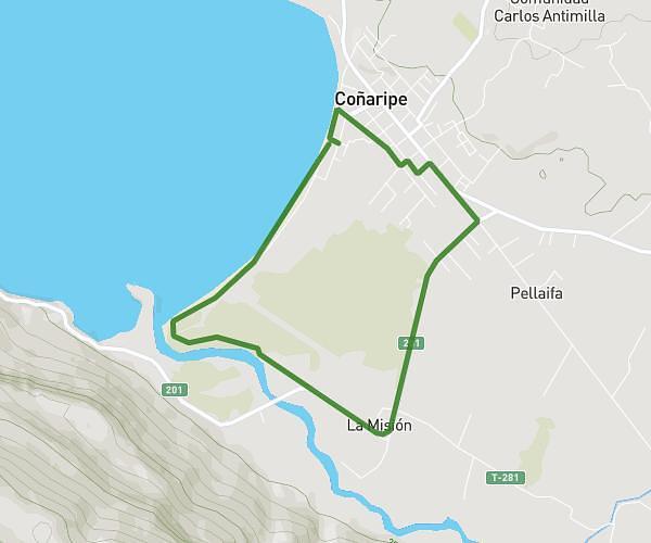
This running route covers 4.622mi starting from Panguipulli, Los Ríos. The run is a loop trail and returns to the trailhead. This run is rated as easy, expect about 1h14m to complete it. The route has an elevation gain of 59ft and an elevation loss of 52ft.
Coñaripe 2
Route details
3.73mph
Speed
850 kcal
Calories burned
Loop trail
Route type
682ft
Min altitude
735ft
Max altitude
Route profile
59ft
Elevation gain
52ft
Elevation loss
682ft
Min altitude
735ft
Max altitude
How to get there
Trailhead: Las Tepas 183, Panguipulli, Los Ríos 5210000, Chile
GPS coordinates of the trailhead: -39.570737, -72.010003 / 39°34'14'' S, 72°0'36'' W