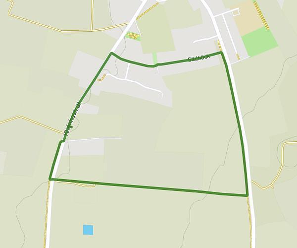
This running route covers 3.231mi starting from Hohenlockstedt, Schleswig-Holstein. The run does not return to the trailhead and ends near Lohmühlenweg 1, 25551 Hohenlockstedt, Germany. This run is rated as easy, expect about 35m to complete it. The route has an elevation gain of 20ft and an elevation loss of 16ft.
Hallo
Route details
5.54mph
Speed
400 kcal
Calories burned
Point to point
Route type
52ft
Min altitude
72ft
Max altitude
Route profile
20ft
Elevation gain
16ft
Elevation loss
52ft
Min altitude
72ft
Max altitude
How to get there
Trailhead: Walderseestraße 22, 25551 Hohenlockstedt, Germany
GPS coordinates of the trailhead: 53.969718, 9.633217 / 53°58'10'' N, 9°37'59'' E