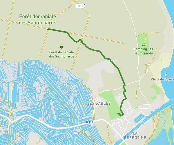
This running route covers 4.489mi starting from Rochefort, Charente-Maritime. The run is a loop trail and returns to the trailhead. This run is rated as easy, expect about 50m to complete it. The route has an elevation gain of 167ft and an elevation loss of 167ft.
hors caserne
Route details
5.39mph
Speed
572 kcal
Calories burned
Loop trail
Route type
0ft
Min altitude
46ft
Max altitude
Route profile
167ft
Elevation gain
167ft
Elevation loss
0ft
Min altitude
46ft
Max altitude
How to get there
Trailhead: 2 Impasse De La Grange, 17300 Rochefort, France
GPS coordinates of the trailhead: 45.937026, -0.992275 / 45°56'13'' N, 0°59'32'' W