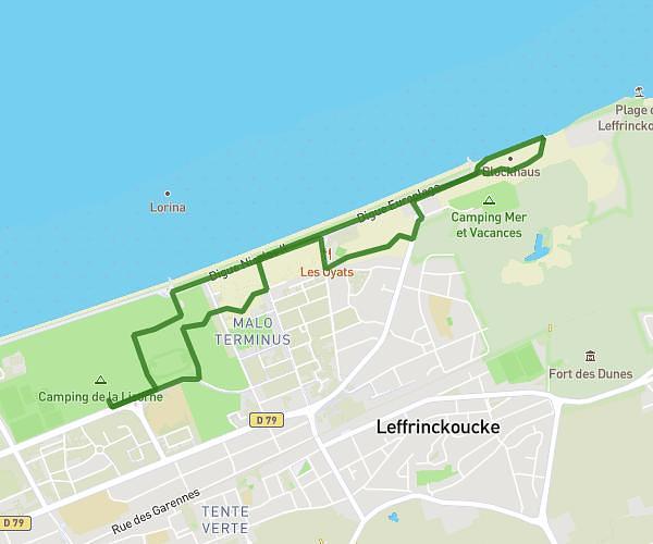
This running route covers 6.488mi starting from Leffrinckoucke, Nord. The run does not return to the trailhead and ends near 454 Digue Europlage, 59495 Leffrinckoucke, France. This run is rated as moderate, expect about 1h25m to complete it. The route has an elevation gain of 10ft and an elevation loss of 7ft.
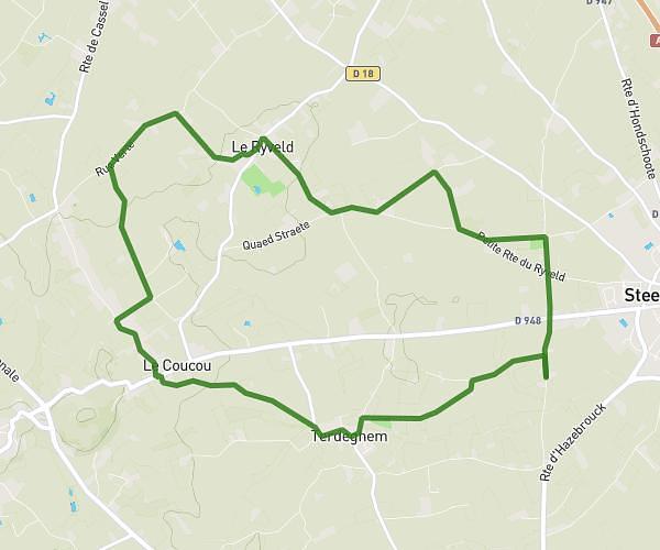
DUNES DEWULF
Route details
4.58mph
Speed
972 kcal
Calories burned
Point to point
Route type
20ft
Min altitude
26ft
Max altitude
Route profile
10ft
Elevation gain
7ft
Elevation loss
20ft
Min altitude
26ft
Max altitude
How to get there
Trailhead: Chemin Du Fort, 59495 Leffrinckoucke, France
GPS coordinates of the trailhead: 51.05308, 2.44492 / 51°3'11'' N, 2°26'41'' E