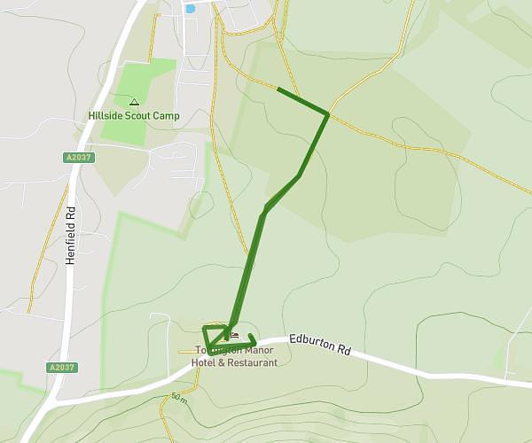
This hiking trail covers 23.285mi starting from Lewes, England. The hike does not return to the trailhead and ends near 38 Ashford Road, Eastbourne, BN21 3TB, United Kingdom. This hike is rated as hard, plan for about 7h56m to complete it. The route has an elevation gain of 965ft and an elevation loss of 961ft.
New years day
Route details
2.93mph
Speed
3376 kcal
Calories burned
1.6%
Avg grade
Point to point
Route type
-7ft
Min altitude
459ft
Max altitude
Route profile
965ft
Elevation gain
961ft
Elevation loss
-7ft
Min altitude
459ft
Max altitude
How to get there
Trailhead: 10 High Street, Lewes, BN7 2AD, United Kingdom
GPS coordinates of the trailhead: 50.874071, 0.014518 / 50°52'26'' N, 0°0'52'' E