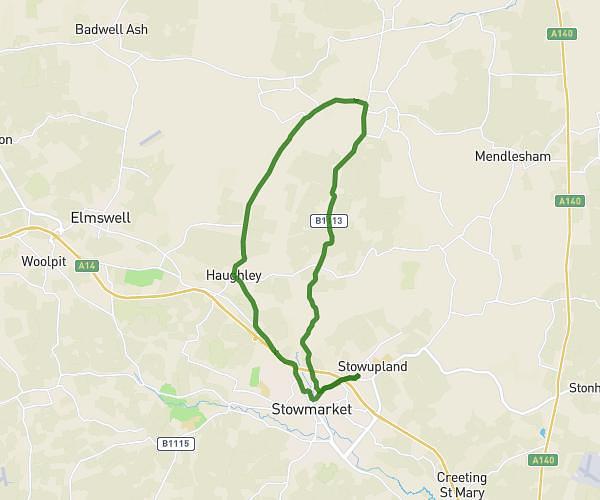
This cycling route covers 9.914mi starting from Bury St. Edmunds, England. The ride is a loop trail and returns to the trailhead. This route is rated as easy, plan for about 1h10m to complete it. The route has an elevation gain of 144ft and an elevation loss of 141ft.
Risby flempton west stow hengrave
Route details
615 kcal
Calories burned
0.5%
Avg grade
Loop trail
Route type
79ft
Min altitude
213ft
Max altitude
Route profile
144ft
Elevation gain
141ft
Elevation loss
79ft
Min altitude
213ft
Max altitude
How to get there
Trailhead: 11 Pound Meadow, Fornham All Saints, Bury St. Edmunds, IP28 6JL, United Kingdom
GPS coordinates of the trailhead: 52.27695, 0.69385 / 52°16'37'' N, 0°41'37'' E