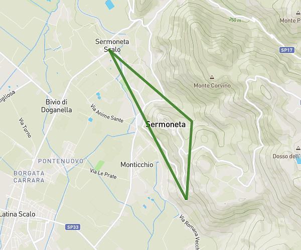
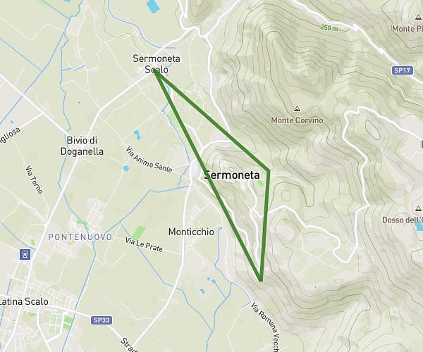
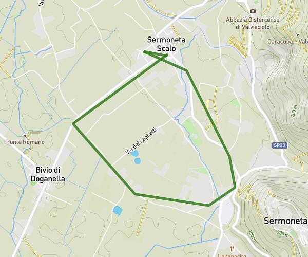
This running route covers 4.018mi starting from Latina, Latina. The run does not return to the trailhead and ends near Strada Provinciale Sermonetana 39, 04013 Sermoneta Latina, Italy. This run is rated as easy, expect about 36m50s to complete it. The route has an elevation gain of 121ft and an elevation loss of 10ft.
Lt scalo - le Prata - Caracupa
Route details
6.54mph
Speed
421 kcal
Calories burned
Point to point
Route type
52ft
Min altitude
174ft
Max altitude
Route profile
121ft
Elevation gain
10ft
Elevation loss
52ft
Min altitude
174ft
Max altitude
How to get there
Trailhead: Via Della Stazione 307, 04100 Latina Latina, Italy
GPS coordinates of the trailhead: 41.53438, 12.94664 / 41°32'3'' N, 12°56'47'' E