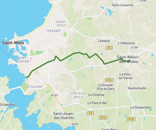
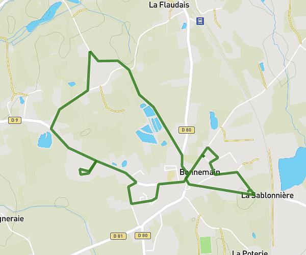
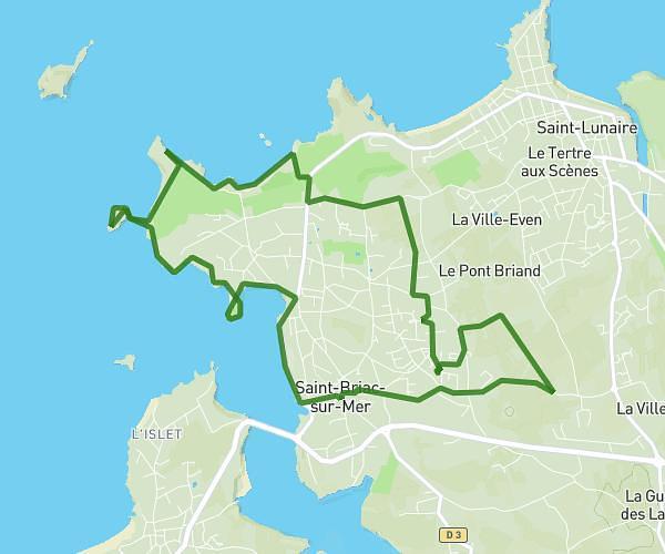
This running route covers 13.746mi starting from Tréméreuc, Côtes-d'Armor. The run does not return to the trailhead and ends near D 61, 22250 Trébédan, France. This run is rated as strenuous, expect about 5h to complete it. The route has an elevation gain of 689ft and an elevation loss of 581ft.
raid scout 1er jour
Route details
2.75mph
Speed
3430 kcal
Calories burned
Point to point
Route type
131ft
Min altitude
417ft
Max altitude
Route profile
689ft
Elevation gain
581ft
Elevation loss
131ft
Min altitude
417ft
Max altitude
How to get there
Trailhead: 4 Rue Andrée Foubert, 22490 Tréméreuc, France
GPS coordinates of the trailhead: 48.558, -2.06365 / 48°33'28'' N, 2°3'49'' W