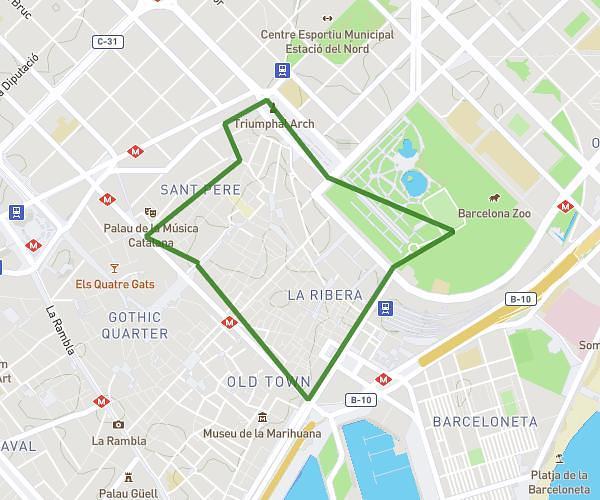
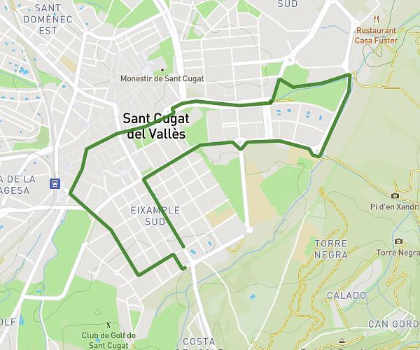
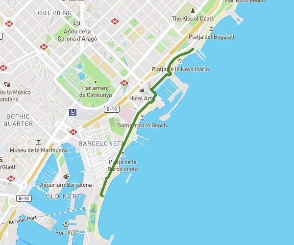
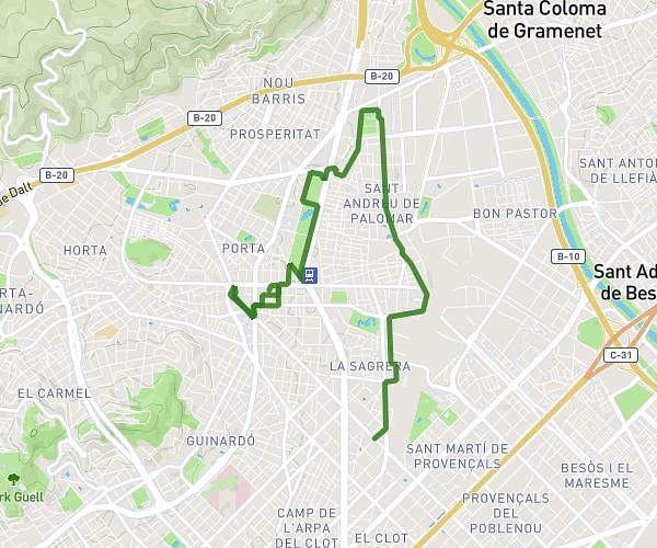
This running route covers 4.608mi starting from Barcelona, Barcelona. The run does not return to the trailhead and ends near Avinguda D'esplugues 59, 08034 Barcelona, Barcelona, Spain. This run is rated as easy, expect about 37m4s to complete it. The route has an elevation gain of 574ft and an elevation loss of 285ft.
Colegio Thau Barcelona
Route details
7.46mph
Speed
424 kcal
Calories burned
Point to point
Route type
105ft
Min altitude
446ft
Max altitude
Route profile
574ft
Elevation gain
285ft
Elevation loss
105ft
Min altitude
446ft
Max altitude
How to get there
Trailhead: Carrer De Casanova 36, 08011 Barcelona, Barcelona, Spain
GPS coordinates of the trailhead: 41.383586, 2.161335 / 41°23'0'' N, 2°9'40'' E