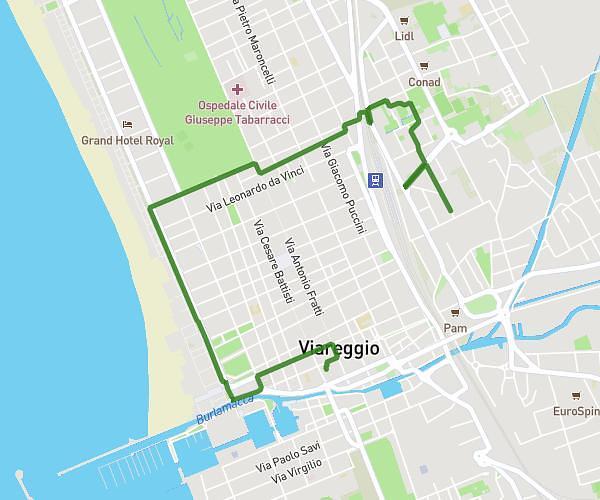
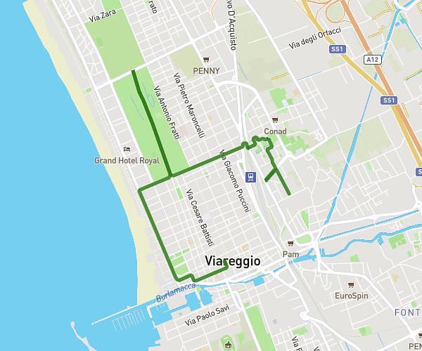
This cycling route covers 1.89mi starting from Viareggio, Lucca. The ride does not return to the trailhead and ends near Via Alessandro Volta 4, 55049 Viareggio Lucca, Italy. This route is rated as easy, plan for about 11m to complete it. The route has an elevation gain of 30ft and an elevation loss of 36ft.
Lavoro/casa
Route details
97 kcal
Calories burned
0.7%
Avg grade
Point to point
Route type
3ft
Min altitude
20ft
Max altitude
Route profile
30ft
Elevation gain
36ft
Elevation loss
3ft
Min altitude
20ft
Max altitude
How to get there
Trailhead: Via San Francesco 55, 55049 Viareggio Lucca, Italy
GPS coordinates of the trailhead: 43.8667, 10.25007 / 43°52'0'' N, 10°15'0'' E