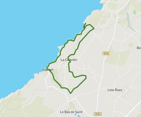
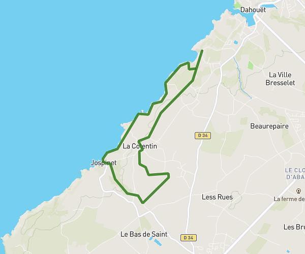
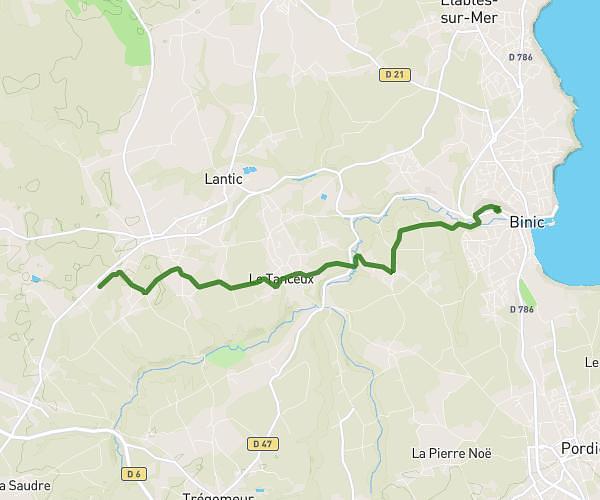
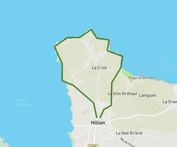
This running route covers 9.225mi starting from Trégueux, Côtes-d'Armor. The run is a loop trail and returns to the trailhead. This run is rated as hard, expect about 1h32m to complete it. The route has an elevation gain of 289ft and an elevation loss of 292ft.
parcours saint brieuc
Route details
6.01mph
Speed
1052 kcal
Calories burned
Loop trail
Route type
72ft
Min altitude
364ft
Max altitude
Route profile
289ft
Elevation gain
292ft
Elevation loss
72ft
Min altitude
364ft
Max altitude
How to get there
Trailhead: Rue Louise Bourgeois, 22950 Trégueux
GPS coordinates of the trailhead: 48.48402, -2.72679 / 48°29'2'' N, 2°43'36'' W