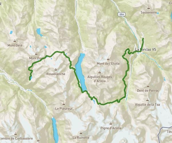
This hiking trail covers 10.515mi starting from Champex-Lac, Valais. The hike does not return to the trailhead and ends near Herbagères 1, 1929 Trient, France. This hike is rated as strenuous, plan for about 8h27m to complete it. The route has an elevation gain of 6296ft and an elevation loss of 3950ft.
TMB - J7 BIS
Route details
1.24mph
Speed
4226 kcal
Calories burned
18.5%
Avg grade
Point to point
Route type
4872ft
Min altitude
8622ft
Max altitude
High altitude
Steep climb
Route profile
6296ft
Elevation gain
3950ft
Elevation loss
4872ft
Min altitude
8622ft
Max altitude
How to get there
Trailhead: Route Du Lac 38, 1938 Champex-Lac, Switzerland
GPS coordinates of the trailhead: 46.03073, 7.11498 / 46°1'50'' N, 7°6'53'' E