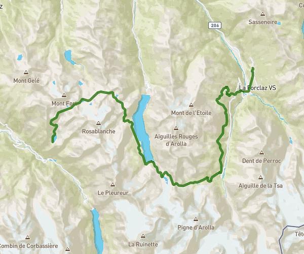
This hiking trail covers 9.782mi starting from Trient, Valais. The hike does not return to the trailhead and ends near La Tour Argentiere Les Praz, 74400 Chamonix-Mont-Blanc. This hike is rated as strenuous, plan for about 7h52m to complete it. The route has an elevation gain of 3478ft and an elevation loss of 4091ft.
TMB - J8 BIS
Route details
1.24mph
Speed
3677 kcal
Calories burned
14.7%
Avg grade
Point to point
Route type
4419ft
Min altitude
7726ft
Max altitude
Steep climb
Route profile
3478ft
Elevation gain
4091ft
Elevation loss
4419ft
Min altitude
7726ft
Max altitude
How to get there
Trailhead: 1929 Trient
GPS coordinates of the trailhead: 46.02692, 6.9697 / 46°1'36'' N, 6°58'10'' E