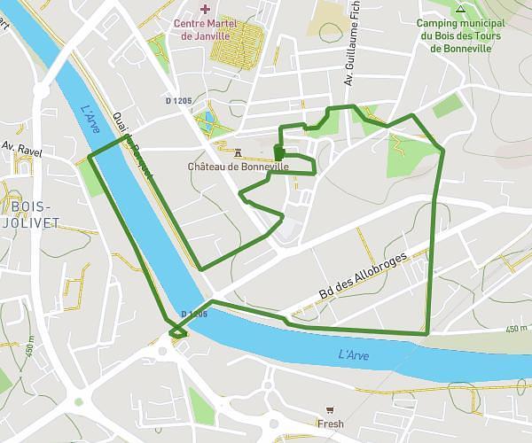
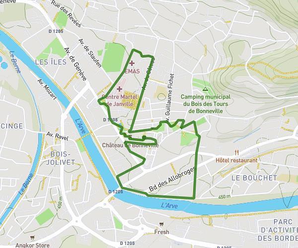
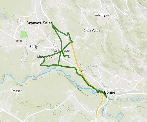
This running route covers 6.729mi starting from Ambilly, Haute-Savoie. The run does not return to the trailhead and ends near 16 Chemin De Charudenant, 74100 Vétraz-Monthoux, France. This run is rated as easy, expect about 1h8m to complete it. The route has an elevation gain of 961ft and an elevation loss of 591ft.
Matin chez Bart
Route details
5.9mph
Speed
782 kcal
Calories burned
Point to point
Route type
1312ft
Min altitude
1775ft
Max altitude
Route profile
961ft
Elevation gain
591ft
Elevation loss
1312ft
Min altitude
1775ft
Max altitude
How to get there
Trailhead: 41 Rue Du Jura, 74100 Ambilly, France
GPS coordinates of the trailhead: 46.1956, 6.22754 / 46°11'44'' N, 6°13'39'' E