This running route covers 3.239mi starting from Aix-en-Provence, Bouches-du-Rhône. The run does not return to the trailhead and ends near 255 Rue Mireille Cirelli, 13080 Aix-en-Provence, France. This run is rated as easy, expect about 35m to complete it. The route has an elevation gain of 338ft and an elevation loss of 256ft.
Aix -> Chez Luara
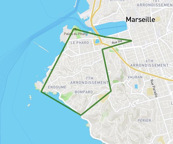
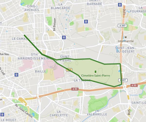
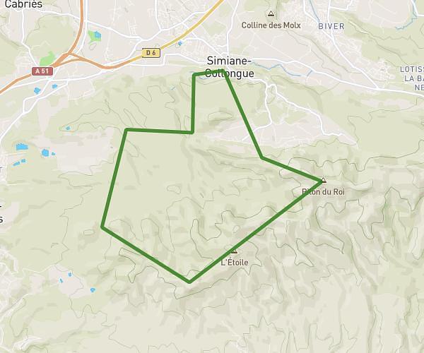
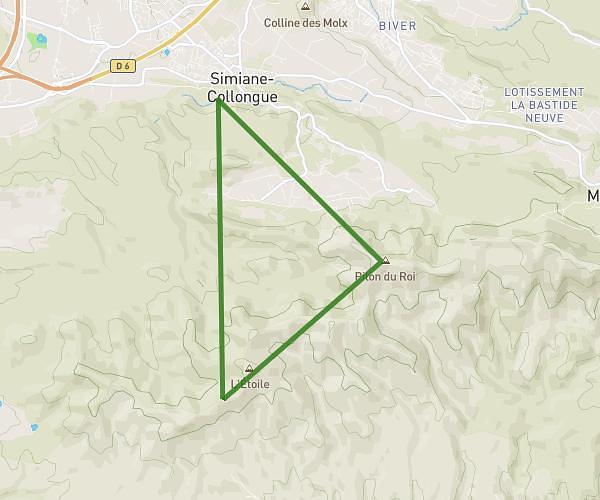
Route details
5.55mph
Speed
400 kcal
Calories burned
Point to point
Route type
433ft
Min altitude
709ft
Max altitude
Route profile
338ft
Elevation gain
256ft
Elevation loss
433ft
Min altitude
709ft
Max altitude
How to get there
Trailhead: 90 Avenue Napoléon Bonaparte, 13100 Aix-en-Provence, France
GPS coordinates of the trailhead: 43.52633, 5.44525 / 43°31'34'' N, 5°26'42'' E