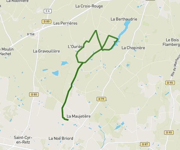
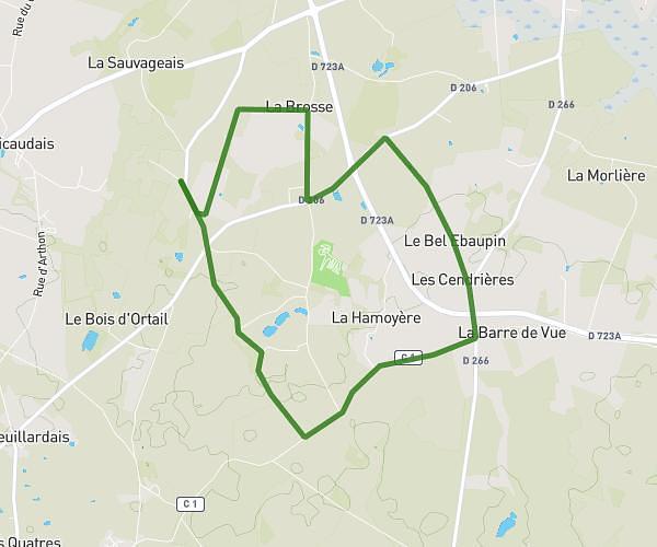
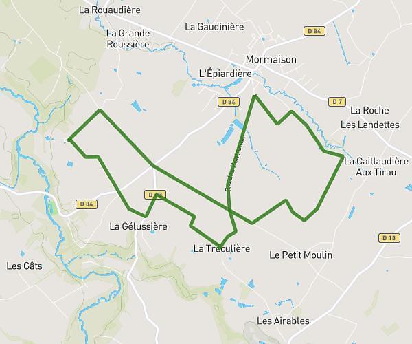
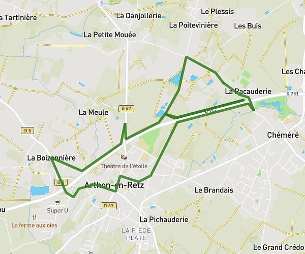
This running route covers 15.59mi starting from Machecoul-Saint-Même, Loire-Atlantique. The run is a loop trail and returns to the trailhead. This run is rated as strenuous, expect about 3h to complete it. The route has an elevation gain of 52ft and an elevation loss of 56ft.
Voila
Route details
5.19mph
Speed
2058 kcal
Calories burned
Loop trail
Route type
0ft
Min altitude
56ft
Max altitude
Route profile
52ft
Elevation gain
56ft
Elevation loss
0ft
Min altitude
56ft
Max altitude
How to get there
Trailhead: Chemin De La Perduère, 44270 Machecoul-Saint-Même
GPS coordinates of the trailhead: 46.96365, -1.8173 / 46°57'49'' N, 1°49'2'' W