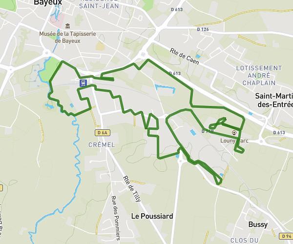
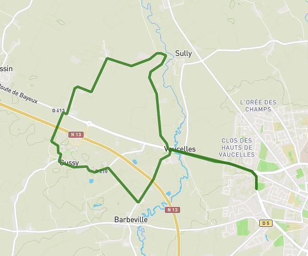
This running route covers 6.451mi starting from Tourville-sur-Odon, Calvados. The run is a loop trail and returns to the trailhead. This run is rated as moderate, expect about 1h15m to complete it. The route has an elevation gain of 82ft and an elevation loss of 89ft.
Cheux
Route details
5.16mph
Speed
858 kcal
Calories burned
Loop trail
Route type
253ft
Min altitude
338ft
Max altitude
Route profile
82ft
Elevation gain
89ft
Elevation loss
253ft
Min altitude
338ft
Max altitude
How to get there
Trailhead: 1 Rue La Cour, 14210 Tourville-sur-Odon, France
GPS coordinates of the trailhead: 49.14173, -0.50369 / 49°8'30'' N, 0°30'13'' W