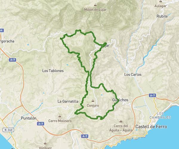
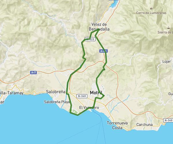
Explore this running route of 21,622mi starting from Motril, Granada. The run is a loop and returns to the starting point. This run has no defined difficulty level, expect about 6h to complete it.
CHALAURA MÁXIMA DEBAJO CONJURO/LAGOS/LUJAR/JOLUCAR/GUALCHOS/DEBAJO CONJURO
Route details
How to get there
Route starting point: Carretera De Motril A N-340 (Castell De Ferro), 18614 Motril, Granada, Spain
GPS coordinates of the starting point: 36.73271, -3.43141 / 36°43'57'' N, 3°25'53'' W


