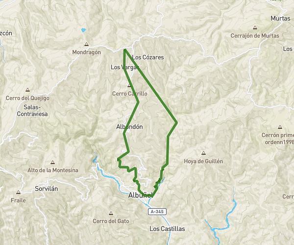
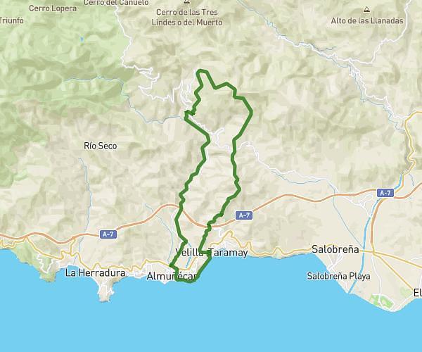
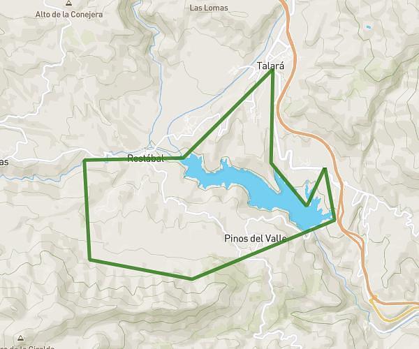
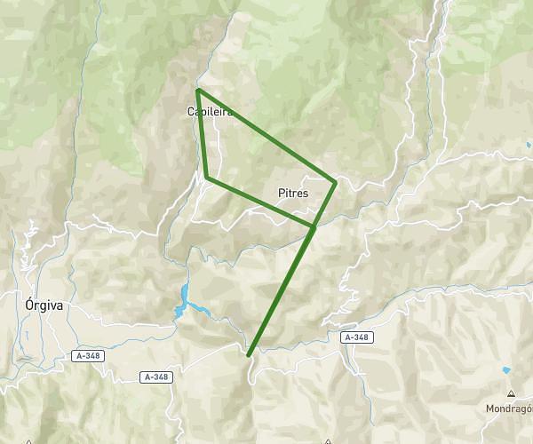
This running route covers 23.143mi starting from Motril, Granada. The run does not return to the trailhead and ends near Lugar Jolúcar, 18614 Gualchos, Granada, Spain. This run is rated as strenuous, expect about 7h to complete it. The route has an elevation gain of 3986ft and an elevation loss of 2152ft.
MOTRIL / GUACHOS/ LUJAR/ JOLUCAR
Route details
3.31mph
Speed
4802 kcal
Calories burned
Point to point
Route type
92ft
Min altitude
2365ft
Max altitude
Route profile
3986ft
Elevation gain
2152ft
Elevation loss
92ft
Min altitude
2365ft
Max altitude
How to get there
Trailhead: Gr-5209, 18600 Motril, Granada, Spain
GPS coordinates of the trailhead: 36.74111, -3.50781 / 36°44'27'' N, 3°30'28'' W