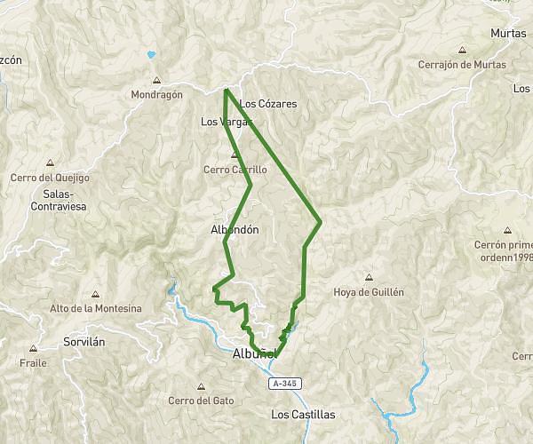
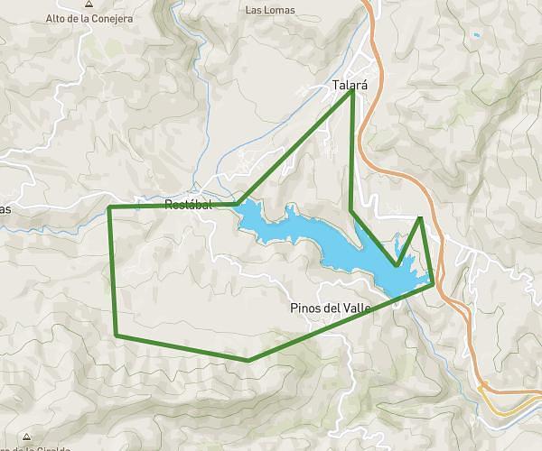
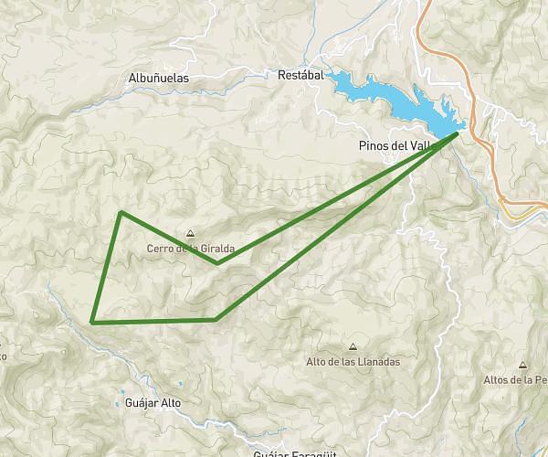
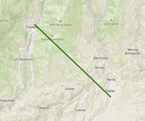
This running route covers 28.989mi starting from Órgiva, Granada. The run is a loop trail and returns to the trailhead. This run is rated as strenuous, expect about 9h to complete it. The route has an elevation gain of 3287ft and an elevation loss of 2795ft.
Puerto de Jubiley/ Portugos/ Capileira/Pampaneira/Pitres/Mecina/Fondales
Route details
3.22mph
Speed
6174 kcal
Calories burned
Loop trail
Route type
1427ft
Min altitude
4711ft
Max altitude
Route profile
3287ft
Elevation gain
2795ft
Elevation loss
1427ft
Min altitude
4711ft
Max altitude
How to get there
Trailhead: Carretera De Lanjarón A Almería Por Ugíjar, 18710 Órgiva, Granada, Spain
GPS coordinates of the trailhead: 36.884731, -3.343501 / 36°53'5'' N, 3°20'36'' W