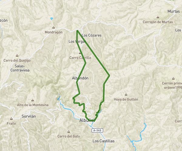
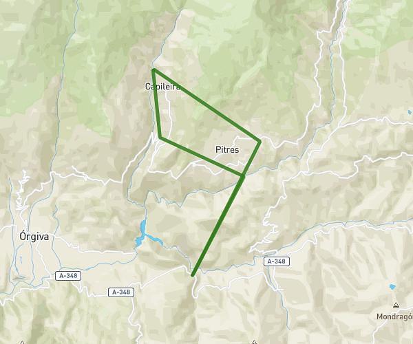
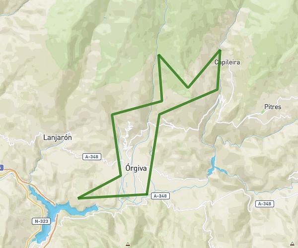
This running route covers 27.214mi starting from Cádiar, Granada. The run is a loop trail and returns to the trailhead. This run is rated as strenuous, expect about 8h to complete it. The route has an elevation gain of 3068ft and an elevation loss of 3448ft.
Cadiar/ Juviles/Trevélez/Berchules/Alcutar/Cadiar
Route details
3.4mph
Speed
5488 kcal
Calories burned
Loop trail
Route type
2618ft
Min altitude
6066ft
Max altitude
Route profile
3068ft
Elevation gain
3448ft
Elevation loss
2618ft
Min altitude
6066ft
Max altitude
How to get there
Trailhead: Calle Barranco De La Carnicería 14, 18440 Cádiar, Granada, Spain
GPS coordinates of the trailhead: 36.941033, -3.179947 / 36°56'27'' N, 3°10'47'' W