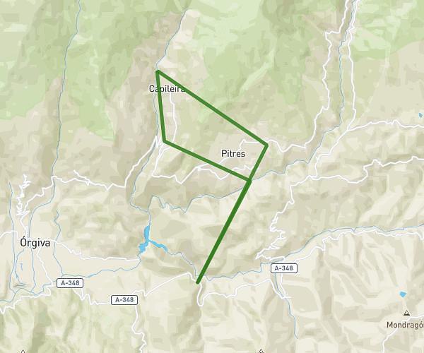
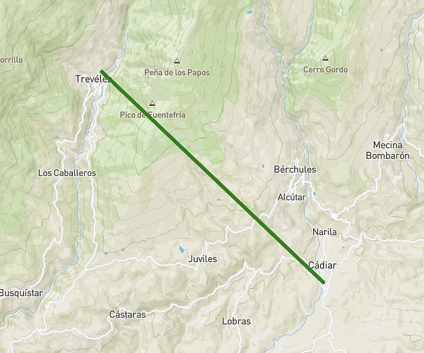
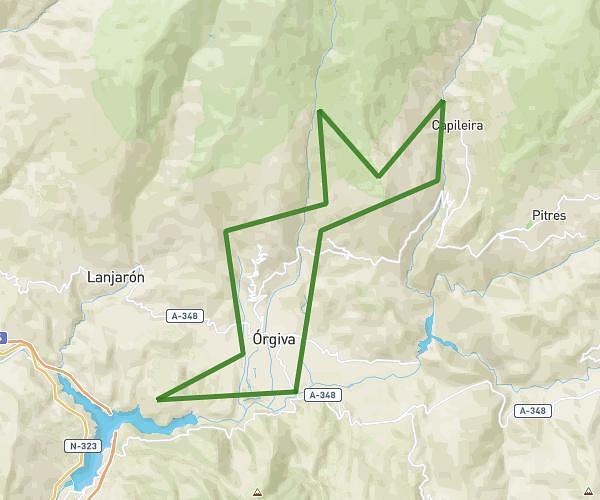
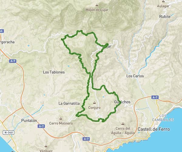
This running route covers 18.796mi starting from Albuñol, Granada. The run is a loop trail and returns to the trailhead. This run is rated as strenuous, expect about 6h to complete it. The route has an elevation gain of 2887ft and an elevation loss of 2904ft.
Albuñol / aboldon/ albuñol
Route details
3.13mph
Speed
4116 kcal
Calories burned
Loop trail
Route type
787ft
Min altitude
3691ft
Max altitude
Route profile
2887ft
Elevation gain
2904ft
Elevation loss
787ft
Min altitude
3691ft
Max altitude
How to get there
Trailhead: Avenida Andalucía 27, 18700 Albuñol, Granada, Spain
GPS coordinates of the trailhead: 36.791274, -3.198368 / 36°47'28'' N, 3°11'54'' W