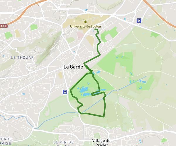
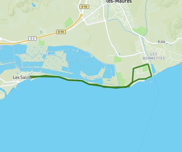
This running route covers 3.929mi starting from Hyères, Var. The run is a loop trail and returns to the trailhead. This run is rated as easy, expect about 42m to complete it. The route has an elevation gain of 561ft and an elevation loss of 531ft.
Waden Sprengen
Route details
5.61mph
Speed
480 kcal
Calories burned
Loop trail
Route type
0ft
Min altitude
141ft
Max altitude
Route profile
561ft
Elevation gain
531ft
Elevation loss
0ft
Min altitude
141ft
Max altitude
How to get there
Trailhead: 45 Chemin Du Bouvet, 83400 Hyères, France
GPS coordinates of the trailhead: 43.029151, 6.156378 / 43°1'44'' N, 6°9'22'' E