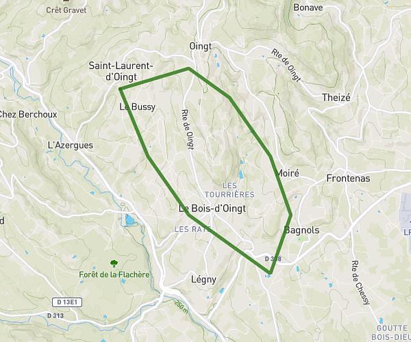
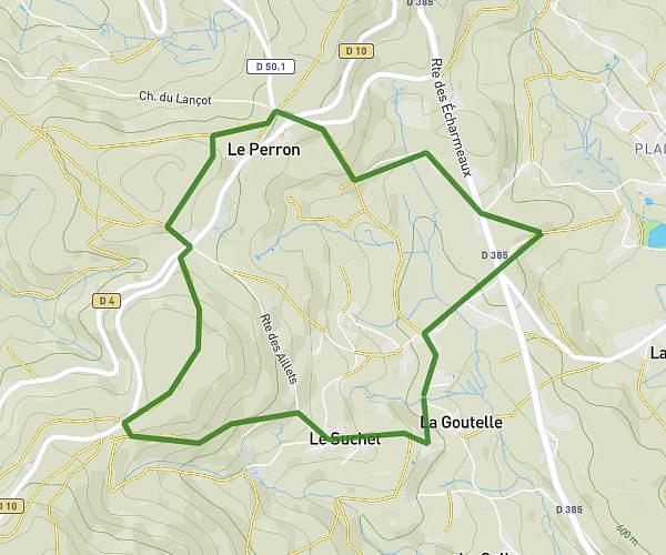
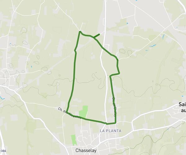
This running route covers 11.95mi starting from Le Perréon, Rhône. The run is a loop trail and returns to the trailhead. This run is rated as strenuous, expect about 2h8m to complete it. The route has an elevation gain of 1352ft and an elevation loss of 1348ft.
Chapelle de Brouilly
Route details
5.6mph
Speed
1463 kcal
Calories burned
Loop trail
Route type
807ft
Min altitude
1568ft
Max altitude
Route profile
1352ft
Elevation gain
1348ft
Elevation loss
807ft
Min altitude
1568ft
Max altitude
How to get there
Trailhead: 134 Boulevard Tachon Paquet, 69460 Le Perréon, France
GPS coordinates of the trailhead: 46.063578, 4.601531 / 46°3'48'' N, 4°36'5'' E