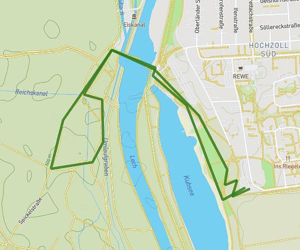
This walking route covers 2.344mi starting from Lauf an der Pegnitz, Bavaria. The walk is a loop trail and returns to the trailhead. This walk is rated as easy, plan for about 50m to complete it. The route has an elevation gain of 223ft and an elevation loss of 223ft.
Morgenspaziergang
Route details
21:19/mi
Pace
204 kcal
Calories burned
Loop trail
Route type
1056ft
Min altitude
1148ft
Max altitude
Route profile
223ft
Elevation gain
223ft
Elevation loss
1056ft
Min altitude
1148ft
Max altitude
How to get there
Trailhead: Stettiner Straße 15, 91207 Lauf an der Pegnitz, Germany
GPS coordinates of the trailhead: 49.51303, 11.26197 / 49°30'46'' N, 11°15'43'' E