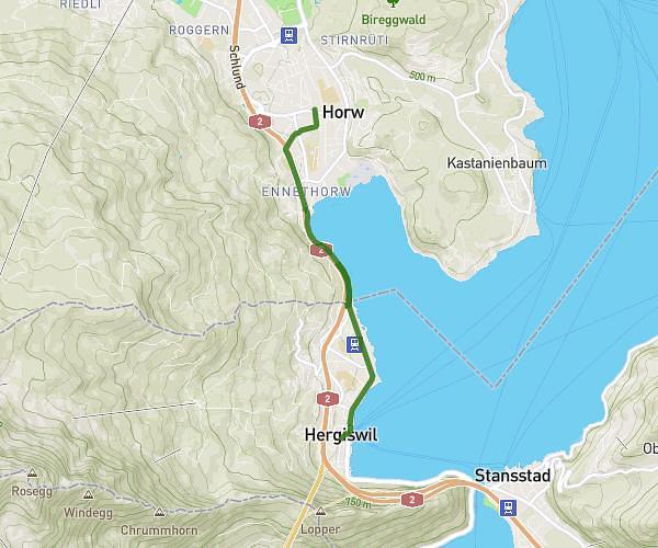
This running route covers 7.456mi starting from Sarnen, Obwalden. The run does not return to the trailhead and ends near Seeweg, 6072 Sachseln, Switzerland. This run is rated as hard, expect about 1h11m to complete it. The route has an elevation gain of 623ft and an elevation loss of 614ft.
Lauf 12 km / Sarnen Bhf - Sachseln Ewil
Route details
6.3mph
Speed
812 kcal
Calories burned
Point to point
Route type
1535ft
Min altitude
1719ft
Max altitude
Route profile
623ft
Elevation gain
614ft
Elevation loss
1535ft
Min altitude
1719ft
Max altitude
How to get there
Trailhead: Glossgasse, 6060 Sarnen, Switzerland
GPS coordinates of the trailhead: 46.894297, 8.247203 / 46°53'39'' N, 8°14'49'' E