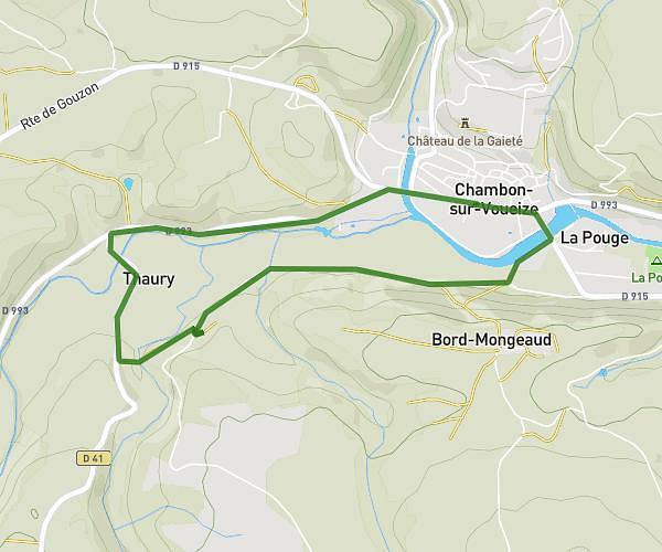
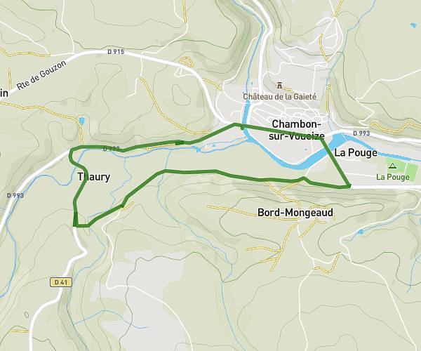
This running route covers 3.518mi starting from Lussat, Creuse. The run does not return to the trailhead and ends near Étang Des Landes, 23170 Lussat, France. This run is rated as easy, expect about 38m to complete it. The route has an elevation gain of 141ft and an elevation loss of 141ft.
étang des Landes
Route details
5.56mph
Speed
434 kcal
Calories burned
Point to point
Route type
1227ft
Min altitude
1260ft
Max altitude
Route profile
141ft
Elevation gain
141ft
Elevation loss
1227ft
Min altitude
1260ft
Max altitude
How to get there
Trailhead: D 55l1, 23170 Lussat, France
GPS coordinates of the trailhead: 46.179995, 2.327194 / 46°10'47'' N, 2°19'37'' E