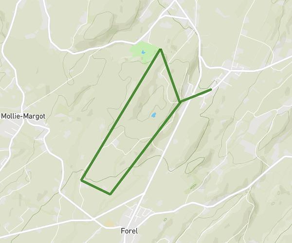
This running route covers 5.354mi starting from Essertes, Vaud. The run is a loop trail and returns to the trailhead. This run is rated as moderate, expect about 57m26s to complete it. The route has an elevation gain of 741ft and an elevation loss of 741ft.
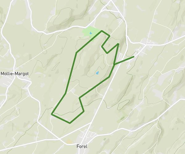
essertes + kid (2km)
Route details
5.59mph
Speed
657 kcal
Calories burned
Loop trail
Route type
2087ft
Min altitude
2549ft
Max altitude
Route profile
741ft
Elevation gain
741ft
Elevation loss
2087ft
Min altitude
2549ft
Max altitude
How to get there
Trailhead: Rue Du Village 31, 1078 Essertes, Switzerland
GPS coordinates of the trailhead: 46.55986, 6.785608 / 46°33'35'' N, 6°47'8'' E