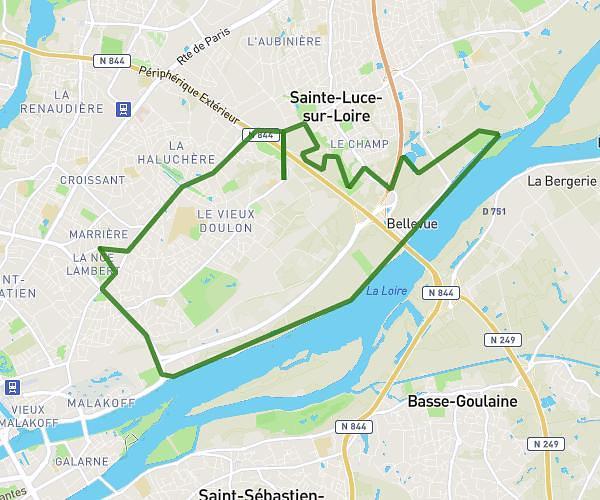
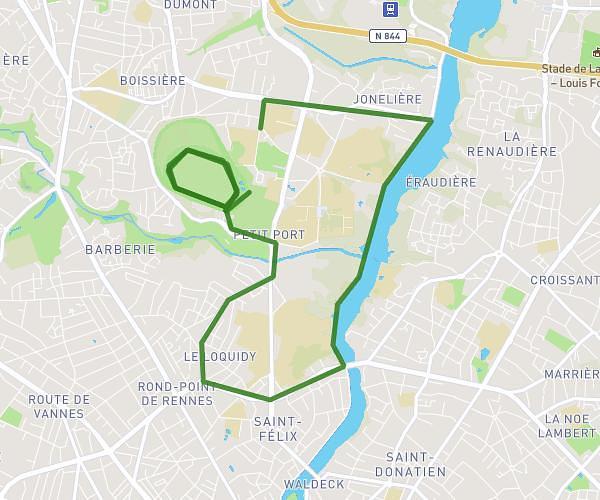
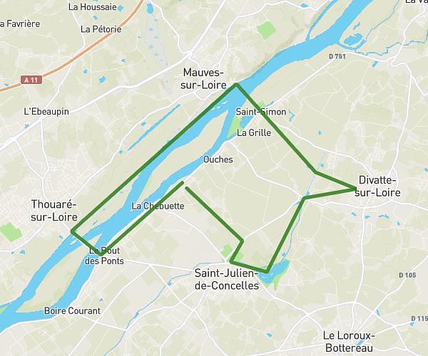
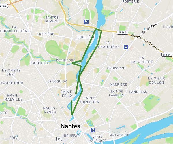
This running route covers 5.468mi starting from Vertou, Loire-Atlantique. The run is a loop trail and returns to the trailhead. This run is rated as moderate, expect about 1h6m to complete it. The route has an elevation gain of 413ft and an elevation loss of 417ft.
Port aux meules
Route details
4.97mph
Speed
755 kcal
Calories burned
Loop trail
Route type
13ft
Min altitude
121ft
Max altitude
Route profile
413ft
Elevation gain
417ft
Elevation loss
13ft
Min altitude
121ft
Max altitude
How to get there
Trailhead: 2 Avenue Des Flandres, 44120 Vertou, France
GPS coordinates of the trailhead: 47.172181, -1.468068 / 47°10'19'' N, 1°28'5'' W