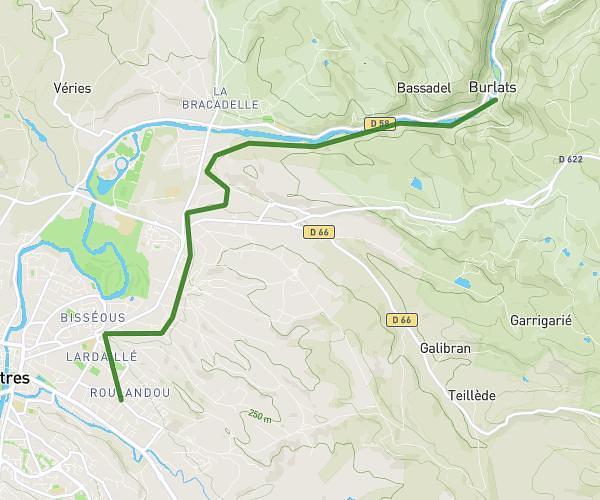
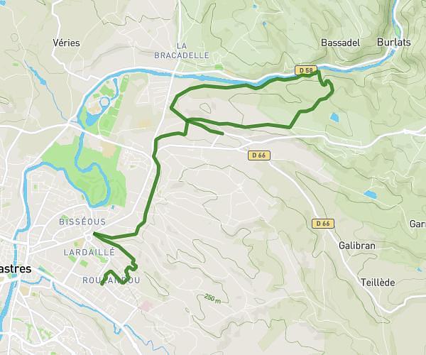
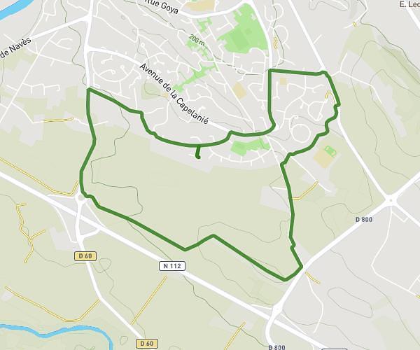
Explore this hiking route of 5,537mi starting from Les Ilhes, Aude. The hike is a loop and returns to the starting point. This hike has no defined difficulty level, plan for about 1h31m to complete it. The route has a positive elevation gain of 1460ft and a negative elevation loss of 1460ft.
La Grave - Fournes
Route details
Route profile
1460ft
Elevation +
1460ft
Elevation -
794ft
Min altitude
1798ft
Max altitude
How to get there
Route starting point: Rue Du Pont, 11380 Les Ilhes, France
GPS coordinates of the starting point: 43.3516, 2.37787 / 43°21'5'' N, 2°22'40'' E