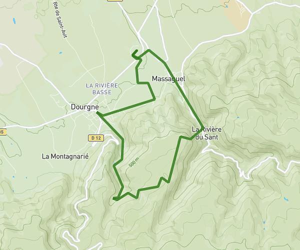
This hiking trail covers 6.13mi starting from Castres, Tarn. The hike does not return to the trailhead and ends near Rue Du Paradis, 81100 Burlats. This hike is rated as moderate, plan for about 3h12m to complete it. The route has an elevation gain of 633ft and an elevation loss of 584ft.
Roulandou Burlats par la parule
Route details
1.91mph
Speed
1388 kcal
Calories burned
3.8%
Avg grade
Point to point
Route type
627ft
Min altitude
974ft
Max altitude
Route profile
633ft
Elevation gain
584ft
Elevation loss
627ft
Min altitude
974ft
Max altitude
How to get there
Trailhead: Chemin De Saint-Hippolyte, 81100 Castres
GPS coordinates of the trailhead: 43.60118, 2.26039 / 43°36'4'' N, 2°15'37'' E