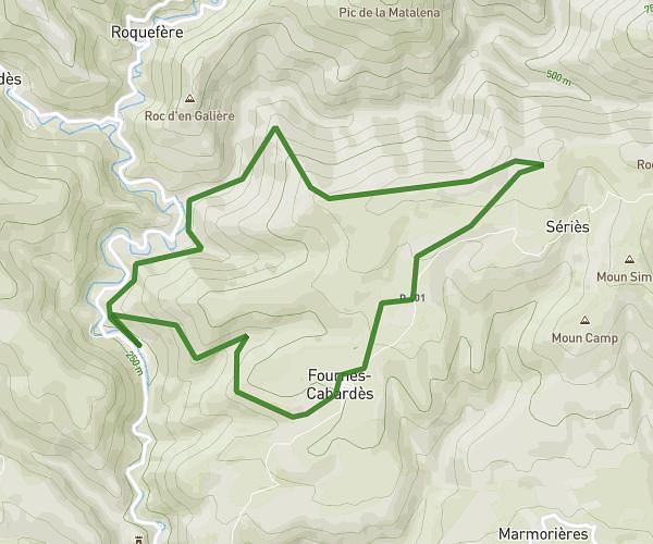
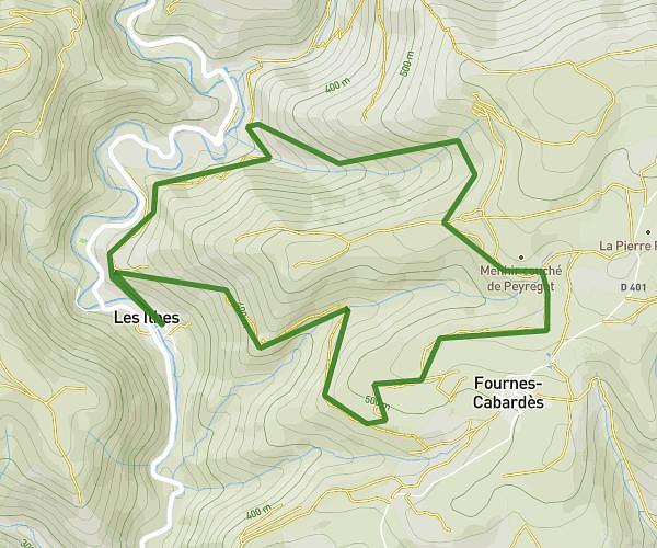
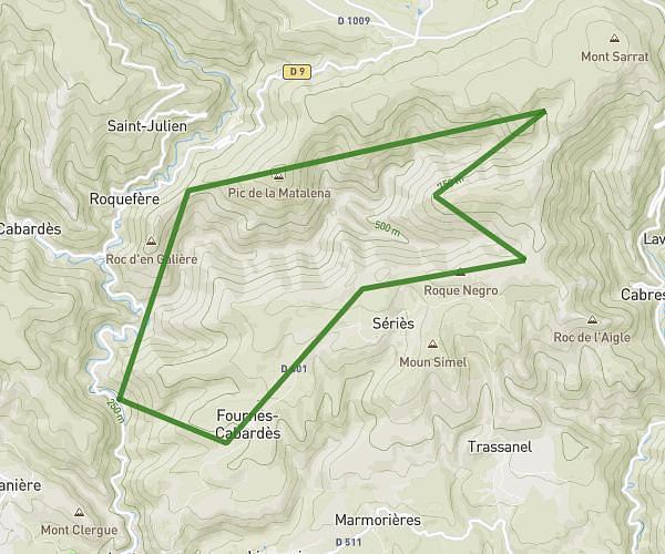
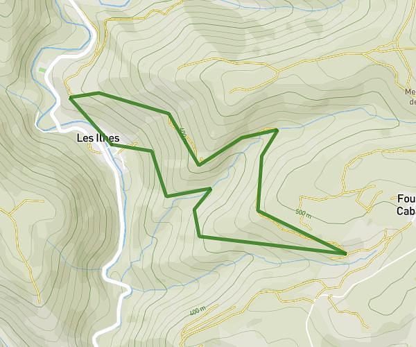
This hiking trail covers 8.016mi starting from Dourgne, Tarn. The hike is a loop trail and returns to the trailhead. This hike is rated as hard, plan for about 3h13m to complete it. The route has an elevation gain of 1572ft and an elevation loss of 1572ft.
Sentier Dom Robert
Route details
2.49mph
Speed
1438 kcal
Calories burned
7.4%
Avg grade
Loop trail
Route type
751ft
Min altitude
1972ft
Max altitude
Route profile
1572ft
Elevation gain
1572ft
Elevation loss
751ft
Min altitude
1972ft
Max altitude
How to get there
Trailhead: 7 Avenue D'en Calcat, 81110 Dourgne, France
GPS coordinates of the trailhead: 43.49709, 2.15096 / 43°29'49'' N, 2°9'3'' E