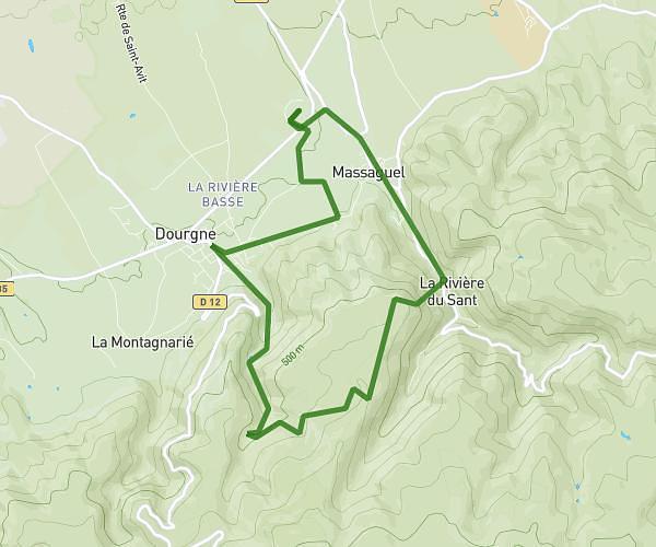
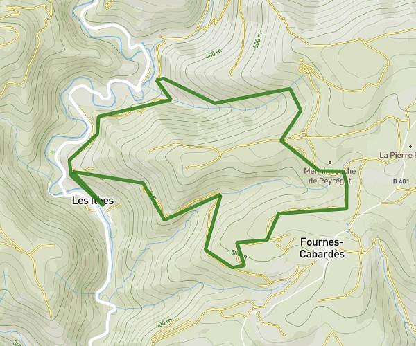
This hiking trail covers 2.864mi starting from Les Ilhes, Aude. The hike is a loop trail and returns to the trailhead. This hike is rated as moderate, plan for about 1h30m to complete it. The route has an elevation gain of 915ft and an elevation loss of 915ft.
petite boucle les Ilhes
Route details
1.91mph
Speed
694 kcal
Calories burned
12.1%
Avg grade
Loop trail
Route type
794ft
Min altitude
1585ft
Max altitude
Steep climb
Route profile
915ft
Elevation gain
915ft
Elevation loss
794ft
Min altitude
1585ft
Max altitude
How to get there
Trailhead: Rue Du Pont, 11380 Les Ilhes, France
GPS coordinates of the trailhead: 43.351596, 2.377872 / 43°21'5'' N, 2°22'40'' E