MapPlanner
13.126mi
Distance
1h50m
Duration
8:24/mi
Pace
Moderate
Level

prepa 1h50

Route details

7.15mph
Speed
1260 kcal
Calories burned
Point to point
Route type
30ft
Min altitude
131ft
Max altitude

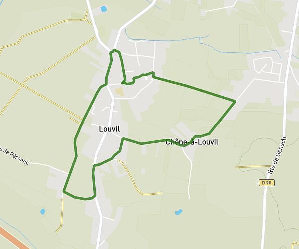
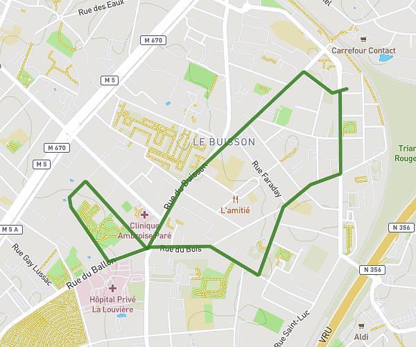
This running route covers 13.126mi starting from Linselles, Nord. The run does not return to the trailhead and ends near Avenue Des Villas, 59126 Linselles. This run is rated as moderate, expect about 1h50m to complete it. The route has an elevation gain of 95ft and an elevation loss of 102ft.

Description of the route by the creator

semi

(Description automatically translated)

Route profile

95ft
Elevation gain
102ft
Elevation loss
30ft
Min altitude
131ft
Max altitude

How to get there

Trailhead: Rue Du Vert Feuillage, 59126 Linselles

GPS coordinates of the trailhead: 50.74213, 3.08305 / 50°44'31'' N, 3°4'58'' E

Caution: May Cross Private Property

This route may pass through or near private property. Always respect posted signs, obtain permission where required, and follow local trespassing laws. MapPlanner does not guarantee public access along any route.

Safety Notice

Trail and road conditions may change without notice due to weather, construction, or other factors. Always verify current conditions before heading out. You are responsible for your own safety — follow local signage, obey traffic laws, and use your best judgment on the trail.