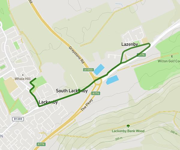
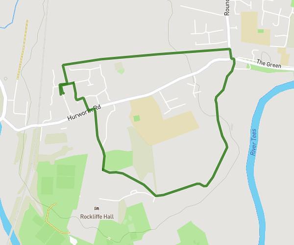
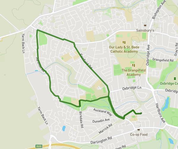
This walking route covers 1.013mi starting from Darlington, England. The walk is a loop trail and returns to the trailhead. This walk is rated as easy, plan for about 20m to complete it. The route has an elevation gain of 102ft and an elevation loss of 105ft.
One mile
Route details
19:45/mi
Pace
82 kcal
Calories burned
Loop trail
Route type
102ft
Min altitude
171ft
Max altitude
Route profile
102ft
Elevation gain
105ft
Elevation loss
102ft
Min altitude
171ft
Max altitude
How to get there
Trailhead: Grange Avenue, DL2 2HE Darlington
GPS coordinates of the trailhead: 54.4846, -1.54797 / 54°29'4'' N, 1°32'52'' W