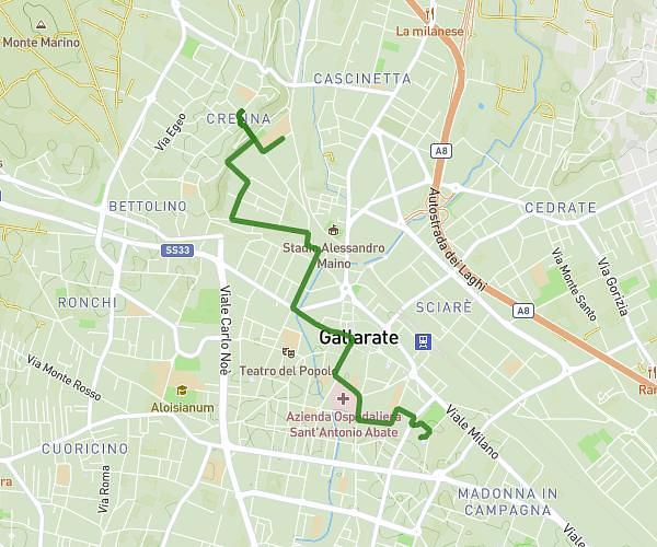
This walking route covers 3.789mi starting from Como, Como. The walk does not return to the trailhead and ends near Via Monte Croce, 22100 Como. This walk is rated as moderate, plan for about 1h21m to complete it. The route has an elevation gain of 1476ft and an elevation loss of 499ft.
Mascio_Como_01
Route details
21:22/mi
Pace
331 kcal
Calories burned
Point to point
Route type
715ft
Min altitude
1703ft
Max altitude
Route profile
1476ft
Elevation gain
499ft
Elevation loss
715ft
Min altitude
1703ft
Max altitude
How to get there
Trailhead: Via Mentana, 22100 Como
GPS coordinates of the trailhead: 45.80366, 9.08945 / 45°48'13'' N, 9°5'22'' E