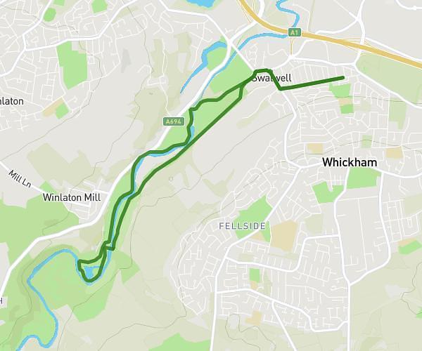
This hiking trail covers 2.971mi starting from Newcastle upon Tyne, England. The hike is a loop trail and returns to the trailhead. This hike is rated as easy, plan for about 1h3m to complete it. The route has an elevation gain of 312ft and an elevation loss of 312ft.
lunch break
Route details
2.83mph
Speed
456 kcal
Calories burned
4.0%
Avg grade
Loop trail
Route type
13ft
Min altitude
180ft
Max altitude
Route profile
312ft
Elevation gain
312ft
Elevation loss
13ft
Min altitude
180ft
Max altitude
How to get there
Trailhead: 33 Clavering Road, Whickham, Newcastle upon Tyne, NE16 3EX, United Kingdom
GPS coordinates of the trailhead: 54.952862, -1.677176 / 54°57'10'' N, 1°40'37'' W