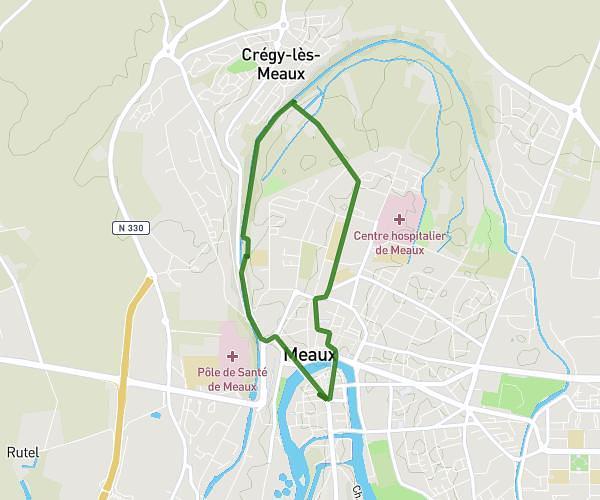
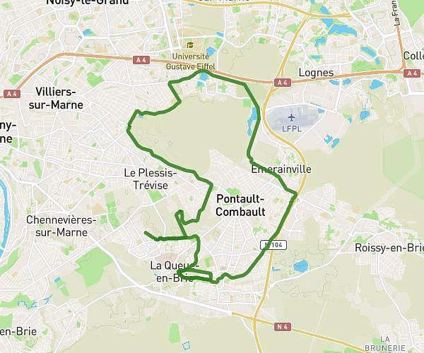
This running route covers 10.575mi starting from La Queue-en-Brie, Val-de-Marne. The run does not return to the trailhead and ends near 73 Rue D'anjou, 94510 La Queue-en-Brie, France. This run is rated as hard, expect about 1h42m to complete it. The route has an elevation gain of 207ft and an elevation loss of 207ft.
17km
Route details
6.21mph
Speed
1167 kcal
Calories burned
Point to point
Route type
285ft
Min altitude
364ft
Max altitude
Route profile
207ft
Elevation gain
207ft
Elevation loss
285ft
Min altitude
364ft
Max altitude
How to get there
Trailhead: 2 Allée Pierre Curie, 94510 La Queue-en-Brie, France
GPS coordinates of the trailhead: 48.79444, 2.57287 / 48°47'39'' N, 2°34'22'' E