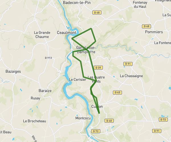
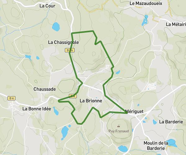
This running route covers 12.005mi starting from Mortroux, Creuse. The run is a loop trail and returns to the trailhead. This run is rated as strenuous, expect about 4s to complete it. The route has an elevation gain of 948ft and an elevation loss of 942ft.
Les cons
Route details
10804.4mph
Speed
1 kcal
Calories burned
Loop trail
Route type
1132ft
Min altitude
1401ft
Max altitude
Route profile
948ft
Elevation gain
942ft
Elevation loss
1132ft
Min altitude
1401ft
Max altitude
How to get there
Trailhead: 62 Rue Grande, 23220 Mortroux, France
GPS coordinates of the trailhead: 46.397011, 1.913042 / 46°23'49'' N, 1°54'46'' E