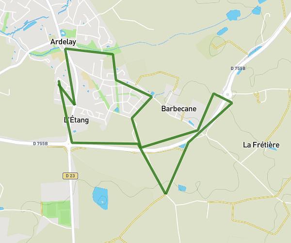
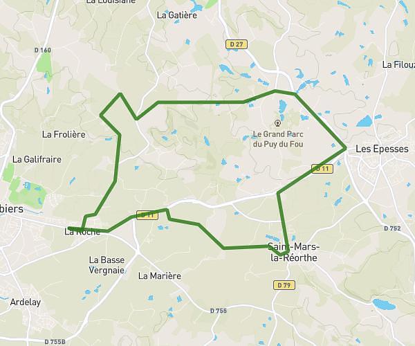
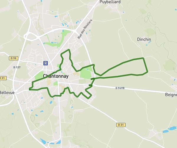
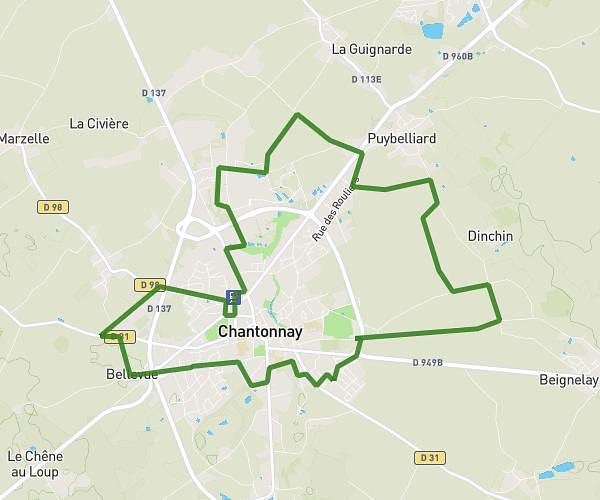
This running route covers 9.437mi starting from Cheffois, Vendée. The run is a loop trail and returns to the trailhead. This run is rated as hard, expect about 1h31m to complete it. The route has an elevation gain of 466ft and an elevation loss of 469ft.
Cheffois
Route details
6.22mph
Speed
1040 kcal
Calories burned
Loop trail
Route type
279ft
Min altitude
436ft
Max altitude
Route profile
466ft
Elevation gain
469ft
Elevation loss
279ft
Min altitude
436ft
Max altitude
How to get there
Trailhead: Rue De La Terre Rouge, 85390 Cheffois
GPS coordinates of the trailhead: 46.66719, -0.78966 / 46°40'1'' N, 0°47'22'' W