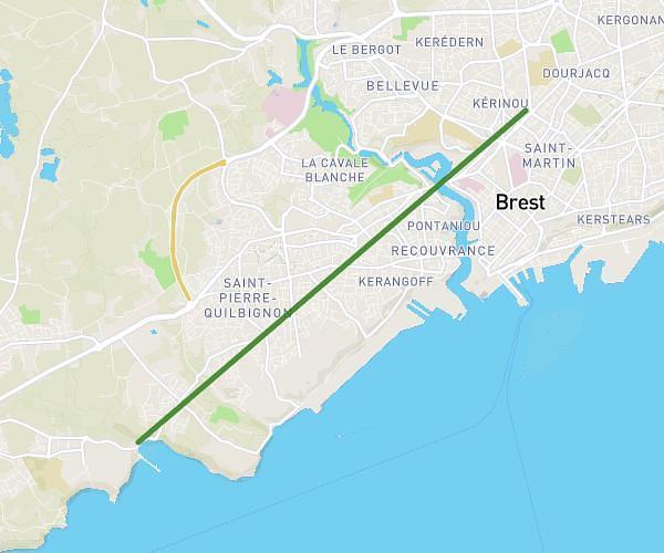
This running route covers 8.979mi starting from Tréglonou, Finistère. The run is a loop trail and returns to the trailhead. This run is rated as hard, expect about 1h36m to complete it. The route has an elevation gain of 135ft and an elevation loss of 144ft.
Keriounan pont locmajan
Route details
5.61mph
Speed
1098 kcal
Calories burned
Loop trail
Route type
30ft
Min altitude
174ft
Max altitude
Route profile
135ft
Elevation gain
144ft
Elevation loss
30ft
Min altitude
174ft
Max altitude
How to get there
Trailhead: 6a Hameau Des Tadornes, 29870 Tréglonou, France
GPS coordinates of the trailhead: 48.548304, -4.542927 / 48°32'53'' N, 4°32'34'' W