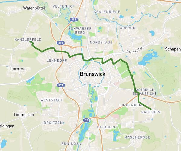
This cycling route covers 14.754mi starting from Salzgitter, Lower Saxony. The ride is a loop trail and returns to the trailhead. This route is rated as strenuous, plan for about 1h29m to complete it. The route has an elevation gain of 1014ft and an elevation loss of 1014ft.
Hohenzug
Route details
792 kcal
Calories burned
2.6%
Avg grade
Loop trail
Route type
253ft
Min altitude
709ft
Max altitude
Route profile
1014ft
Elevation gain
1014ft
Elevation loss
253ft
Min altitude
709ft
Max altitude
How to get there
Trailhead: Hermann-Stehr-Straße 7, 38226 Salzgitter, Germany
GPS coordinates of the trailhead: 52.16608, 10.343205 / 52°9'57'' N, 10°20'35'' E